|
Turpan (Tulufan in Chinese), Xinjiang
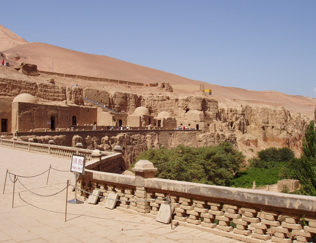
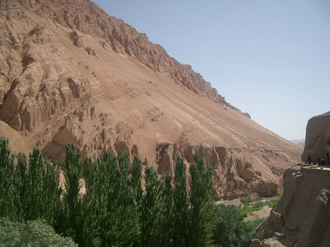
Bezeklik Thousand Buddha Caves - Seventy caves decorated with beautiful frescos of buddhas are constructed in the Bogda Mountains during the 5th to 9th century. The Uyghurs were Buddhists and Christians in different parts of history before converting to Islam. No photography allowed in the caves to protect the frescos on the walls.
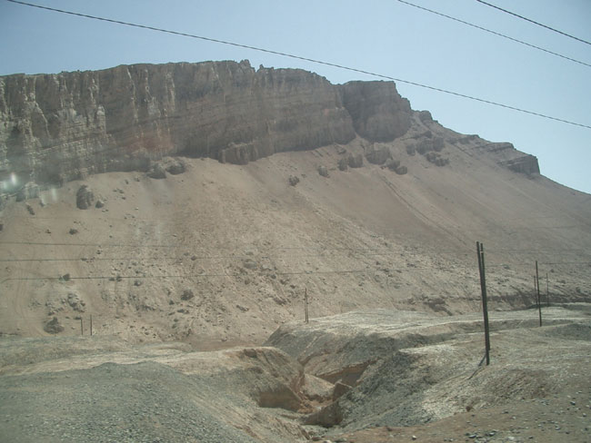
Badly weathered red sandstones, and mafic dykes.
Sandstone beds
Gaochang (Qara-hoja in Uyghur)
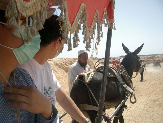
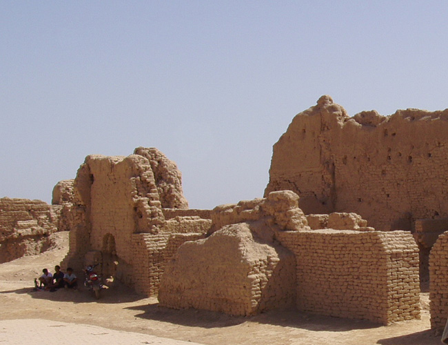
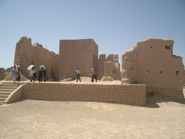
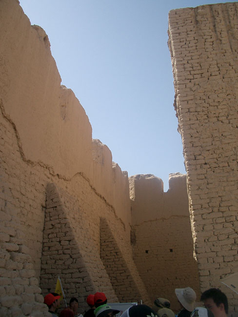
Poor donkey Ancient Han City of Gaochang. Gaochang was settled by Chinese soldiers sent by the Emperor during the Han dynasty to fight the Huns in the first campaign against the nomads (about ~140 BC). The campaign failed and fearing for execution in China, they settled in a valley in Xinjiang near Turpan. The Silk Road town was a Chinese outpost for centuries. 30,000 people lived here, of which 10% were monks. It was so so hot that we had to look for shelter. Most of Xinjiang is at about 2000 m altitude but Turpan Valley is at sea level, part of it is below sea level. The low altitude means no wind, and extremely hot temperatures. The surface of the ground is on average 50C in summer, although it can be as hot as 80C.
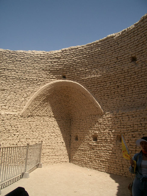
Buddhist hall in Gaochang. Monks used to speak here to the people about Buddhism. Monk Xuanzang stayed here during the epic journey to the west for original Sanskrit Buddhist texts. The monk was extremely popular here, and the king of Gaochang forced Monk Xuanzang to stay. Xuanzang was determined to leave for the west and stopped eating and drinking. By the third day, the king let him go on the condition that Xuanzang comes back on his return journey.
Ruins of Ganchang
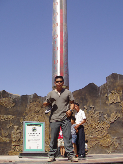
Flaming Mountain (Bogda Mtn) 58C = surface temperature, apparently it was a cool day! The background depicts Sun Wukong, the Monkey King, a main character in the popular folklore "Journey to the West", in which the monkey king used a giant fan to extinguish the fire in the Flaming Mountain (here) for Xuanzang and his students to proceed to India. Of course that's just fiction.
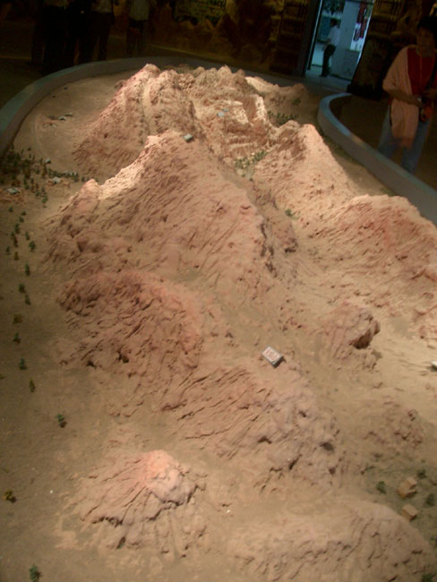
Geologic model of the Flaming Mountain (Bogda Mountain Chain). Two chains of mountains, all red sandstones form part of the E-W Tianshan Mountain Chain, which splits Xinjiang into two halves. The Jungar basin to the north and the Tarim basin to the south. The Flaming Mountains though, occur in a basin that drops to near sea level.
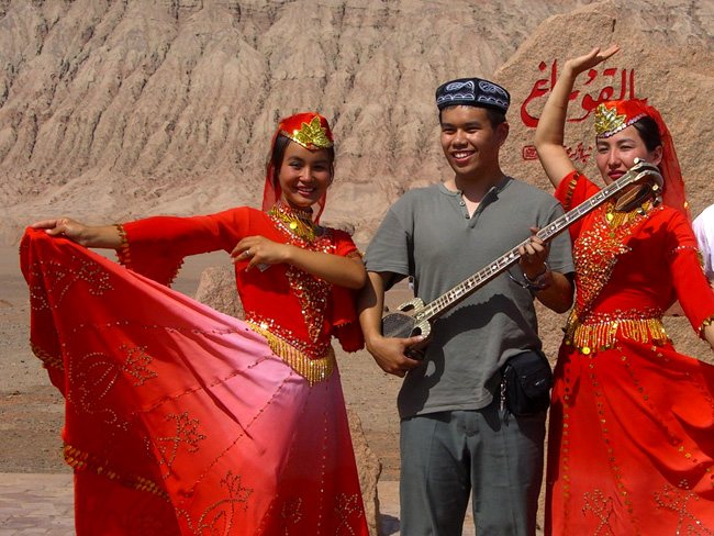
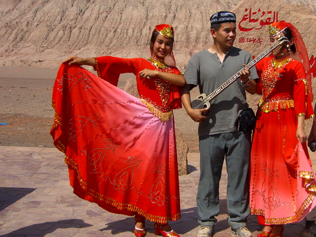
Setar, a local musical instrument, Okay, not that local, it's Sehtar in Persian, Sitar in the west, and tembur in Kurdish. And one of the most important Chinese instruments, Erhu, is inspired by it. Erhu has two strings, (er means two in Chinese). Sehtar has three strings. The name literally means three strings.
|
|