| ˇˇ | ˇˇ | Korea | ˇˇ | ˇˇ |
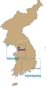
[Map of Gyeonggi] [Map of Gyeongsang]
|
Maps of Korea |
|
|
ˇˇ |
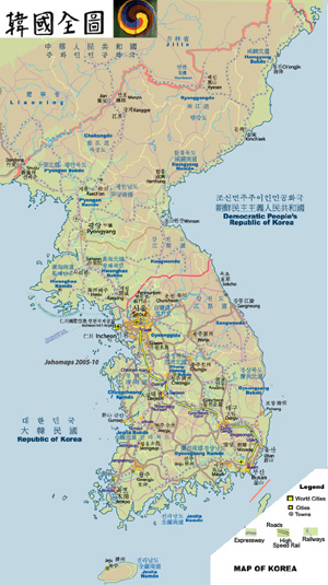
Map of the Korean Peninsula | ||
| ˇˇ | Date: | ˇˇ | Dec, 2010 (5th Ed) | |
| Map format: | gif | |||
| Dimension: | 647 x 1153 pixels (385 kb) | |||
| Copyright holder: | Johomaps! | |||
| Conditions of using this map: | Unlimited educational use, free download. Free web posting with web link to www.johomaps.com | |||
| Computer Specifics: | Prepared using Macromedia Freehand, Adobe Illustrator and Photoshop | |||
|
|
||||
|
| ||||
ˇˇ
![]()
![]()