Click to see
English Version
|
|
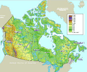
Map of Canada | ||
| Date: | May, 2005 | |||
| Map format: | gif | |||
| Dimension: | 952 x 793 pixels (48 kb) | |||
| Copyright holder: | Johomaps! | |||
| Conditions of using this map: | Unlimited educational use, free download. | |||
| Computer Specifics: | Prepared using Adobe Illustrator | |||
|
|
||||
|
Real Time Canada Travel Info |
||||
|
|
National News:
|
|||
